
Wading in
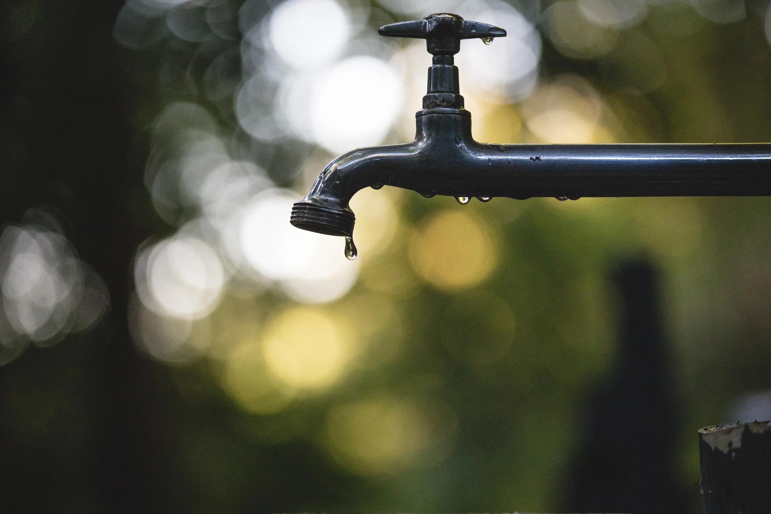
/We take some things in life for granted, such as electricity being there when you turn a light on, or water flowing from the faucet when you turn the handle. When nothing happens, it gets your attention and fast.
This is the first in a series of articles to dive into the history and findings of previous water studies on Lummi Island going back 40 years, a look at where we are today, and some insights into how a changing climate could affect what we all assume will never change.
Plenty of water to go around?
Just look around you and it’s obvious there’s plenty of water to go around (pun intended for island dwellers), but you can’t drink seawater out of your faucet. Our island relies on Public Water Systems to provide safe drinking water to about 460 residences, or about half of us. There are five larger Group A systems serving us, such as Lummi Island Scenic Estates (LISECC), Hilltop Water Owners Association, and Isle Aire Beach Association, plus about another 12 smaller Group B systems. Group B systems serve between three and 14 connections and have fewer requirements, such as licensed operators and frequent testing. Everyone else gets their water from several hundred private wells scattered around the island.
Public information about your water system
If your water is provided by a water association, you can use the Washington State Water System Data Sentry Internet find information on the water system supplying drinking water to your home. You can also check the system's water testing results to see what's in your drinking water.
Find your water system’s ID number in the map here, then go to Sentry Internet and type that number into the field for “Water System ID”.
> Open map in new window
In 2016, the full-time population was just over 1,000 with the summer population nearly doubling in another 428 dwelling units. Future full-time population is estimated to grow to 1,136 by the year 2040 and could eventually swell to nearly 3,000 if seasonal housing and platted lots are fully developed. The question then becomes one of sustainability of our freshwater supply: is there enough for everyone in future years?
The one thing we all have in common, is our water comes from rainfall during the year and is either captured in a lake or taken from the ground. So what happens when the rain patterns change and we get less of it, or too much at one time? We’ll explore these questions and many more on water quantity and quality issues in this series.
Highly variable from place to place
What happens if we add more connections and use a lot more water? Again, with a finite amount of water in the ground, the result is that some of our aquifers start to become depleted faster than can be recharged from rainfall seeping into the ground. This is all part of the 'water cycle' and aquifers we'll focus on in the next installment.

Rain falls, vegetation and evaporation consume much of it, much more runs off into ditches and into the sea, and about 6% finds its way into the ground to replenish our aquifer according to the 2006 report Northern Lummi Island Hydrogeologic Investigation by Aspect Consulting. There are lots of variables in that statement, such as how much vegetation is present, what’s the slope of the land, the ability of the soil to accept water, the geology of the aquifer itself, temp/humidity at the time the rain falls, etc, etc. Aspect Consulting tried to quantify this to a “Safe Yield” equation and found “aquifers of Northern Lummi Island to be highly variable from place to place”, so used a theoretical maximum result from nearby Lummi Peninsula to make their calculations.
Maximum Safe Yield can be expressed as the amount of rainfall that is absorbed into the ground per year—about 117 million gallons, how much septic systems add to that number—14 million gallons, and how much water is withdrawn from wells—about 39 million gallons each year.

This is about 100 gallons per person per day for full time residents. So, in theory, we’re only using about 30% of what’s available. But remember that was the maximum, and all aquifers are not created equally—especially on Lummi Island. Wells near the shoreline are more prone to contamination from salt water. Also consider that our population can double during the very driest months of the year, when consumption is highest and recharge is negligible.
The squeeze of sea rise
The EPA warns us that as the planet gets warmer, we should expect rising sea levels will squeeze our aquifer into smaller volumes, while a changing climate of warmer and drier summers in the future mean less rainfall when it’s needed most. The University of Washington’s Climate Group 2019 report No Time to Waste warns of 30% drier and hotter summers.
by Climate Impacts Group, University of Washington
By mid-century, if greenhouse gas emissions continue on their current pathway, the average year in Washington will be warmer than the hottest year of the 20th century.
Reductions in summer water supply will reduce summer hydropower production and may affect public health through impacts on drinking water quality.
Coastal wastewater and stormwater collection systems are likely to experience more problems with saltwater intrusion, corrosion, flooding and inundation, increasing maintenance costs.
Are we tapped out?
So what’s the bottom line here, you ask. The short answer is that Lummi Island is in pretty good shape as small islands go. Our nearest neighboring island of similar size, Guemes, has not been so fortunate with wells showing increased salt water contamination.
Longer range, the picture is not as comforting. The demographics of Lummi island population and consumption will demand more from our water systems and private wells. The supply of water is more difficult to predict. A changing climate suggests that rainfall in the Pacific Northwest will change over time with less rain and more of it falling in winter months and less in summer months when demand is greatest.
As sea levels rise and rainfall patterns change, our best defense is to monitor our wells for diminished capacity and salt water intrusion during the dry months, and conserve water as needed. Desalination plants are costly to build and operate, so let’s not go there.
Shoal Bay Water, of Lopez Island, serving about 50 households, is a good example of having to drill new wells further inland as seawater invades their wells closer to sea level. Their next move will be to convert seawater to drinking water which is quite expensive to build and operate.
What’s ahead
This series will explore these subjects in greater detail: what planning has been done in the past, saltwater intrusion, naturally occurring contaminants like arsenic, introduced contaminants like septic systems, and the future of water protection.
Becoming informed on water issues facing us and more involved in the actions we take as a community in future years will determine how much of this plays out. It may be as simple as staying more involved in your water system, or private well operation. We're hopeful these articles will inspire future Water Watchers to continue to be informed and vigilant in the wise use of this limited resource.
We will offer up some ideas for monitoring, testing and conservation to ensure we all continue to turn the faucet and get the expected results—clean fresh water.
Co-Authors
Mike Skehan | email
Manager of Ridge Water Assn, past owner of Lummi Water Works, Mgr of Hilltop Water and Sunset Beach Water, (Water Distribution Specialist, Basic Treatment Operator), retired.
Isaac Colgan | email


